

A change on the way: wetter weather ahead as high pressure retreats, with a cold snap possible
The Met Office says showers could affect some Bonfire Night plans, and next week could turn milder or much colder.
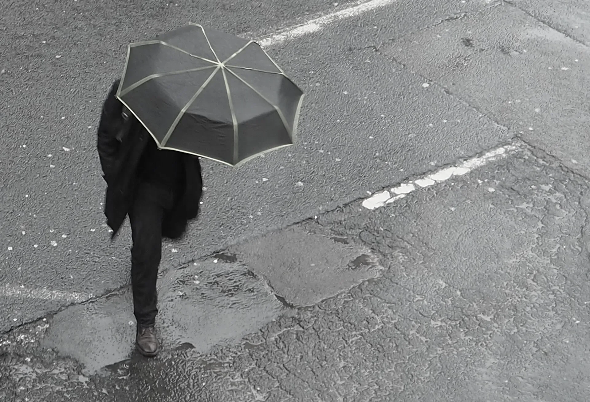
After a long, settled spell under high pressure, a change is on the way for Birmingham's weather over the next ten days, the Met Office says, with wetter conditions and some big uncertainty about whether it turns milder or much colder next week.
Bonfire Night and the weekend
For now, high pressure is still in charge, with the jet stream meandering to the north of the UK. That keeps things generally settled, though easterly winds will bring areas of cloud and a few showers.
A more notable area of showery rain is expected to develop across the south-west later on Thursday, continuing overnight and into Friday, and some showers could be heavy, with the possibility of thunder. The Met Office says there is some uncertainty over exactly where the heaviest showers will fall, so "anyone with fireworks plans on Thursday or Friday evening should keep an eye on the latest forecast".
Cloud will make a big difference to how it feels. Where skies clear overnight, temperatures will drop and mist and fog may form. Where it stays cloudy by day, it is likely to feel rather chilly.
Over the weekend the wetter weather is expected to move north. Further south, conditions will be mixed, with occasional showers but also brighter spells. In any sunshine, temperatures should feel reasonable for early November, but under cloud it will feel distinctly cooler, with a chance of fog and a touch of frost on clear nights.
High pressure loses its grip
The bigger change comes next week. The high pressure that has dominated will weaken and retreat eastwards, and low pressure will approach from the south-west, bringing the potential for wetter and windier weather, especially around the middle of the week.
That system will try to draw milder air north. At the same time, colder air will be trying to push south. The Met Office says the big question is where the boundary between the two sits.
Milder or colder?
Computer models show quite different possibilities. In one, low pressure close to the north-east of the UK could bring a much colder northerly airflow, with a notable drop in temperature and even the chance of some wintry weather. In another, higher pressure builds from the west, keeping much of the UK drier and stopping the coldest air spreading widely.
Across southern areas, the forecaster currently sees a greater chance of temperatures rising on Monday and Tuesday as milder air pushes north.
With confidence "unusually low" towards the end of next week, the Met Office says the details are likely to change, so it is worth checking the latest forecast before making plans. A good umbrella is a sensible thing to keep by the door.
More in Weather
All
Latest news
Featured posts
-
Things to do
Top 10 places to visit in Birmingham
-
Food and drink
The 12 most popular food spots in Birmingham
-
Things to do
The best laser tag locations in Birmingham