

One more foggy night for Birmingham, then rain before a cold and frosty end to the week
The Met Office expects fog to clear after Monday night, with rain on Tuesday and sunny, frosty days on Thursday and Friday.
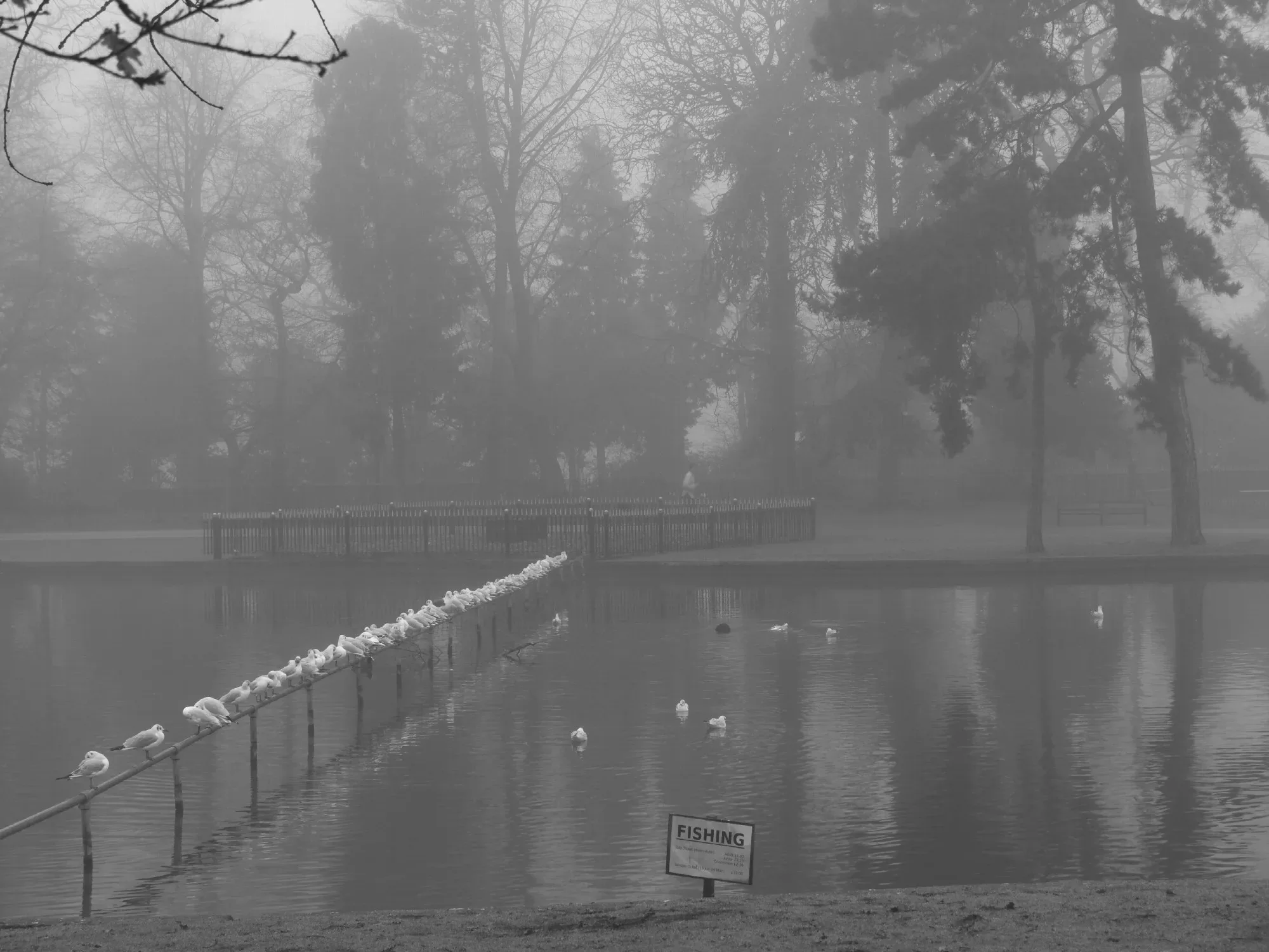
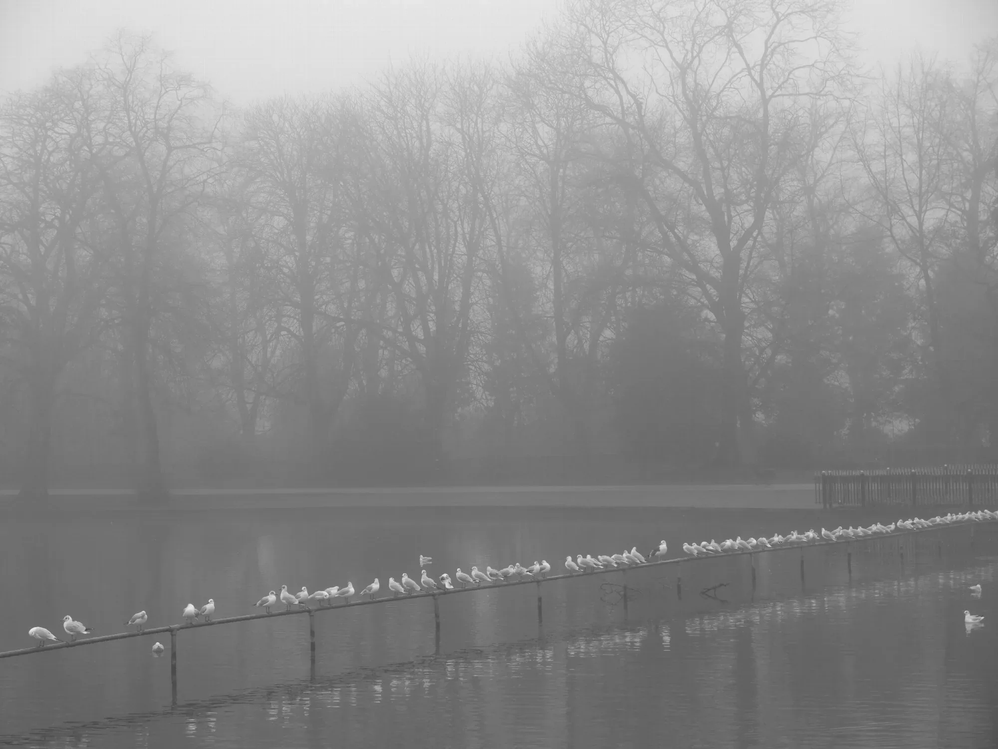
Birmingham's foggy spell is nearly over. The Met Office says one more night of dense fog is expected across parts of central England before cloud, wind and rain move in, followed by a properly cold and frosty end to the week.
Persistent high pressure has given the region light winds and clear skies in recent days, ideal conditions for fog to form overnight. With only weak November sunshine to burn it off, it has been slow to clear on some mornings, and patches lingered all day in places.
Monday night: one last foggy night
A yellow fog warning is in place overnight on Monday into Tuesday for parts of central England and Wales. Drivers heading out late on Monday or early on Tuesday should allow extra time, use dipped headlights and leave a bigger gap to the vehicle in front.
Met Office Chief Meteorologist Jason Kelly said: "Persistent high pressure has brought light winds and clear skies, allowing fog to form, while weak November sunshine has meant it is fairly slow to clear."
"We're expecting one more night of dense fog, with a warning in place for some areas. Increasing cloud and wind should then limit further widespread fog from developing."
Tuesday and Wednesday: rain spreading north
On Tuesday, cloud and outbreaks of rain will spread north across much of England and Wales, with heavier bursts most likely in the south west later in the day. Fog and low cloud could be slow to clear before the rain arrives. Temperatures will be near or a little below average for the time of year.
Tuesday night stays cloudy across southern areas with more rain, while clearer skies further north allow frost to form. By Wednesday, colder air starts to push in from the north, while rain lingers over parts of southern England and Wales.
Thursday and Friday: crisp, cold and frosty
The colder air spreads further south through Thursday and Friday. For most places, including Birmingham, that should mean drier weather with clear or sunny spells, a welcome change after days of grey fog. The trade-off is the cold: temperatures are expected to fall below average widely by Thursday, and especially on Friday, with frost becoming more widespread.
Snow showers could briefly reach low ground in the far north of Scotland on Wednesday night, but the Met Office describes that as "relatively normal for the time of year". There is no sign of snow for Birmingham in the forecast.
The weekend: less cold, with rain possible
There is still some uncertainty about the weekend. High pressure is expected to drift away towards continental Europe, letting Atlantic weather systems back in. That should bring temperatures back closer to average, with some rain possible later in the weekend.
Making the most of it
Thursday and Friday look like the best days this week for a crisp walk in one of the city's parks, though wrap up well and expect icy patches early in the morning. It is also a good moment to check on older neighbours and relatives as the first proper cold of the season arrives, to bring in or protect tender plants, and to make sure the car has de-icer and screenwash before the frost sets in.
More in Weather
All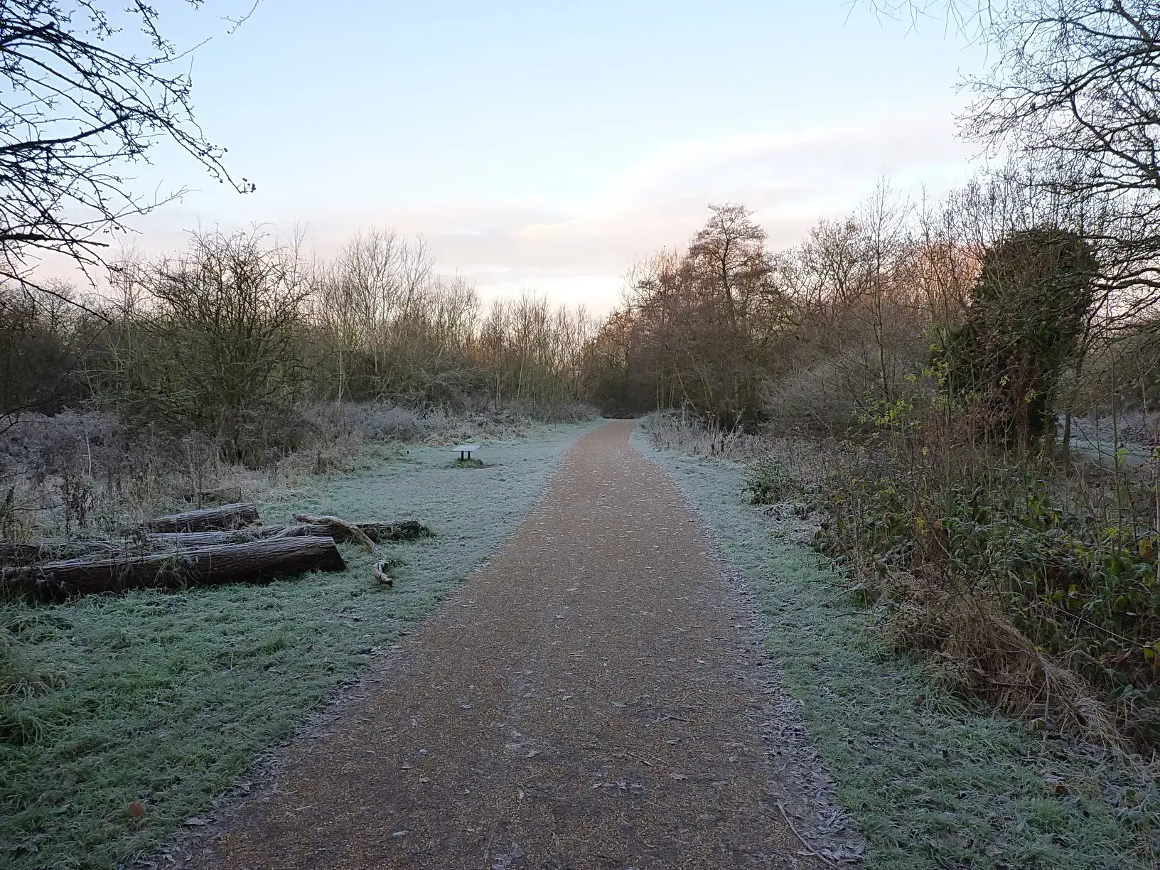
Latest news
Featured posts
-
Things to do
Top 10 places to visit in Birmingham
-
Food and drink
The 12 most popular food spots in Birmingham
-
Things to do
The best laser tag locations in Birmingham