

Week ahead: Birmingham's dry spell ends as high pressure retreats, with wetter weather midweek
After a foggy Remembrance Sunday, milder days are possible early in the week before rain and wind arrive, and a colder end to the week can't be ruled out.
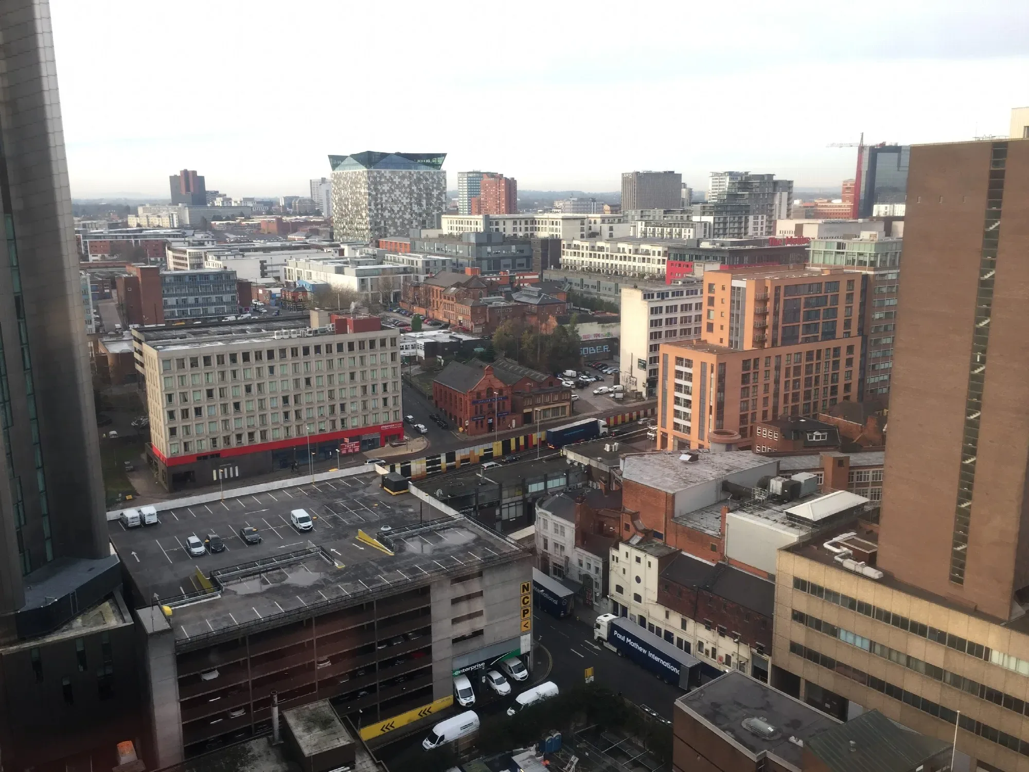
After a long run of calm, mostly dry weather, Birmingham is heading for a change. The high pressure that has sat over the UK for much of the past fortnight is expected to weaken and drift away east during the coming week, opening the door to wetter and windier conditions, according to the Met Office's latest 10-day trend.
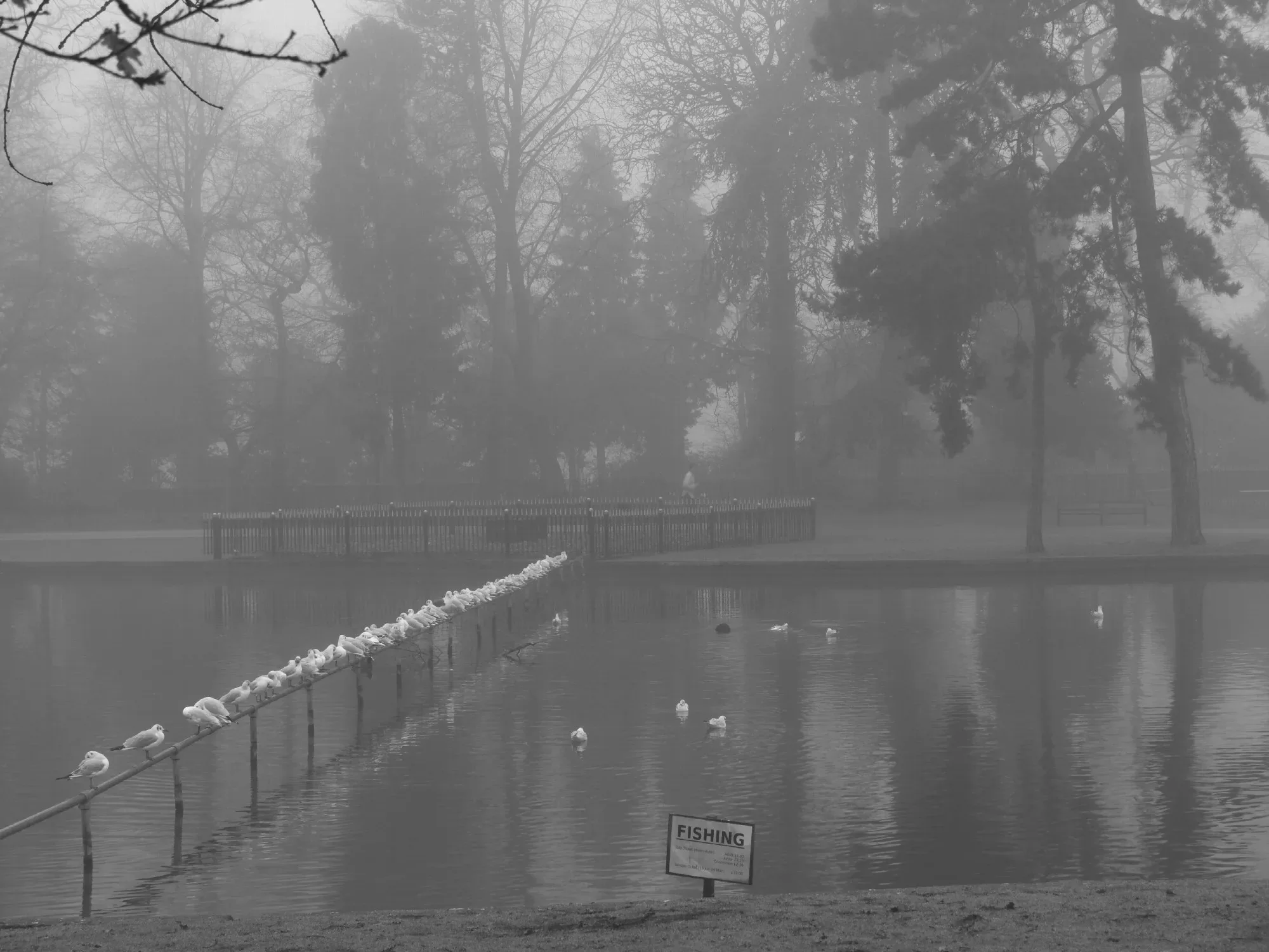
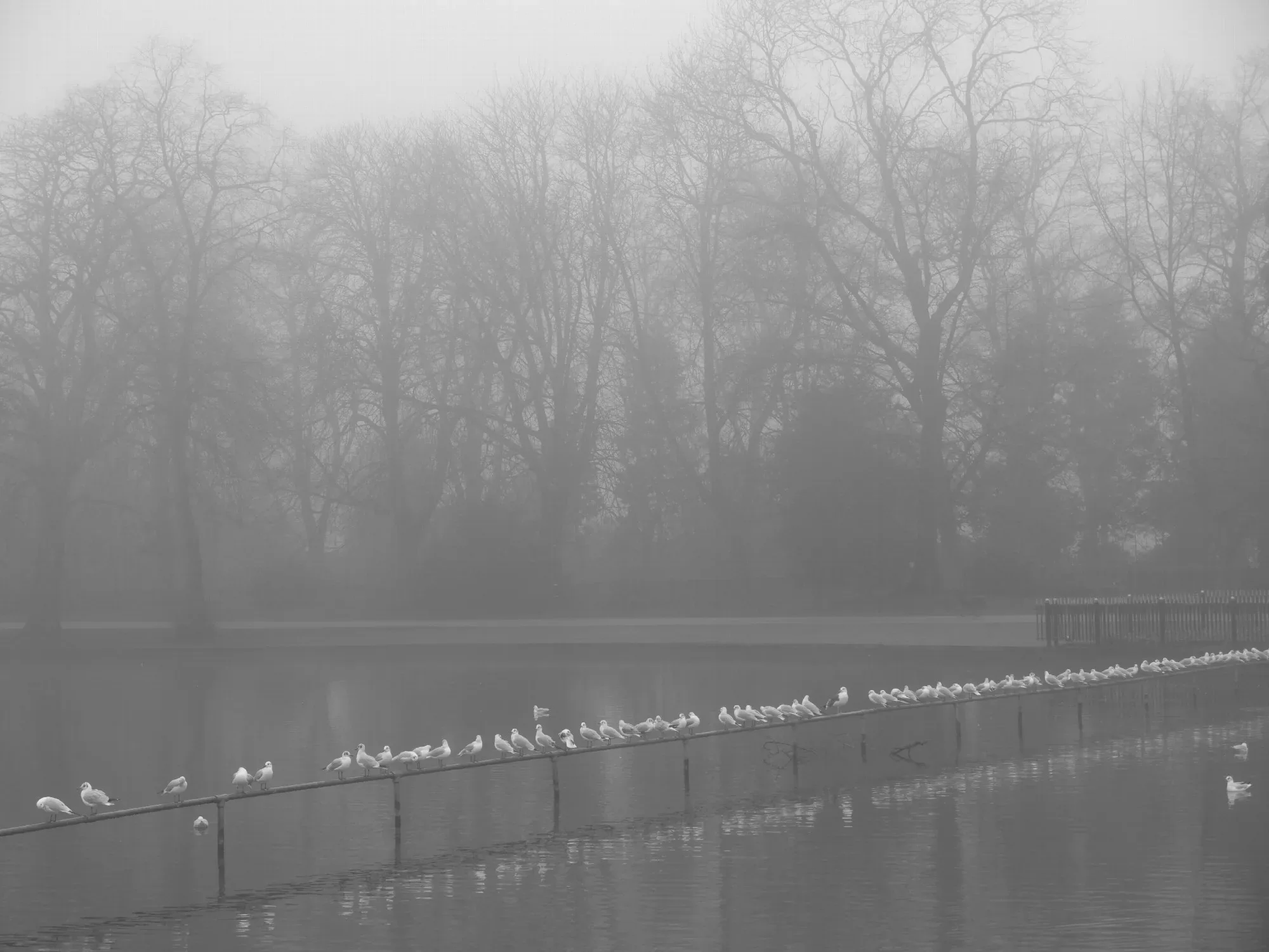
Today, Remembrance Sunday, starts foggy, with a yellow warning for fog in place until 10am. Once it lifts, the day should stay largely dry and chilly, with a better chance of some brightness in the afternoon.
Early next week: misty nights, milder days
As the high pressure weakens and the winds become lighter, mist and fog could become more widespread overnight for a time, so early-morning drivers may need to allow extra time again.
Low pressure is then expected to approach from the south-west, trying to draw milder air north across the country. The Met Office says there is currently a greater chance of temperatures rising across southern areas on Monday and Tuesday as that milder air pushes north.
Midweek: wetter and windier
The weather is likely to turn wetter and windier around the middle of the week. Forecasters are confident about the broad picture: high pressure will lose its grip, low pressure will become more influential, and some rain is likely as the week goes on. For anyone with outdoor plans, the middle of the week is the time to keep an eye on.
Later in the week: milder or colder?
Beyond that, confidence falls sharply. Computer models show quite different possibilities for the end of the week, as milder air from the south-west meets colder air trying to push down from the north.
In one scenario, an area of low pressure close to the north-east of the UK, combined with higher pressure to the west, could bring a much colder northerly wind, a notable drop in temperatures and even the possibility of some wintry weather in places. In another, higher pressure builds from the west, keeping much of the country drier and stopping the coldest air spreading as widely.
The Met Office says the details are "likely to change over the coming days", and recommends checking the latest forecast as the picture becomes clearer.
What it means for Birmingham
- Today: foggy start, then mostly dry and cool, brighter later.
- Monday and Tuesday: possibly milder, with mist and fog at night.
- Midweek: wetter and windier spells likely.
- Late week: uncertain, with a chance of something colder.
It is a good week to dig out the waterproofs and check the forecast before setting off, especially on the busy commute midweek.
A dry autumn so far
The change follows an unusually settled start to November. High pressure has kept much of the UK dry for days, with grey, cloudy skies rather than sunshine for many, and plenty of overnight mist and fog. For gardeners and farmers, some rain will be welcome. For everyone else, it is a reminder that winter is on its way.
More in Weather
All
Latest news
Featured posts
-
Things to do
Top 10 places to visit in Birmingham
-
Food and drink
The 12 most popular food spots in Birmingham
-
Things to do
The best laser tag locations in Birmingham