

Cold week ahead for Birmingham: fog and rain today, then frosty, sunny days from Thursday
The Met Office expects temperatures of only 4C to 6C in places on Thursday, with brighter, drier weather inland as high pressure builds.
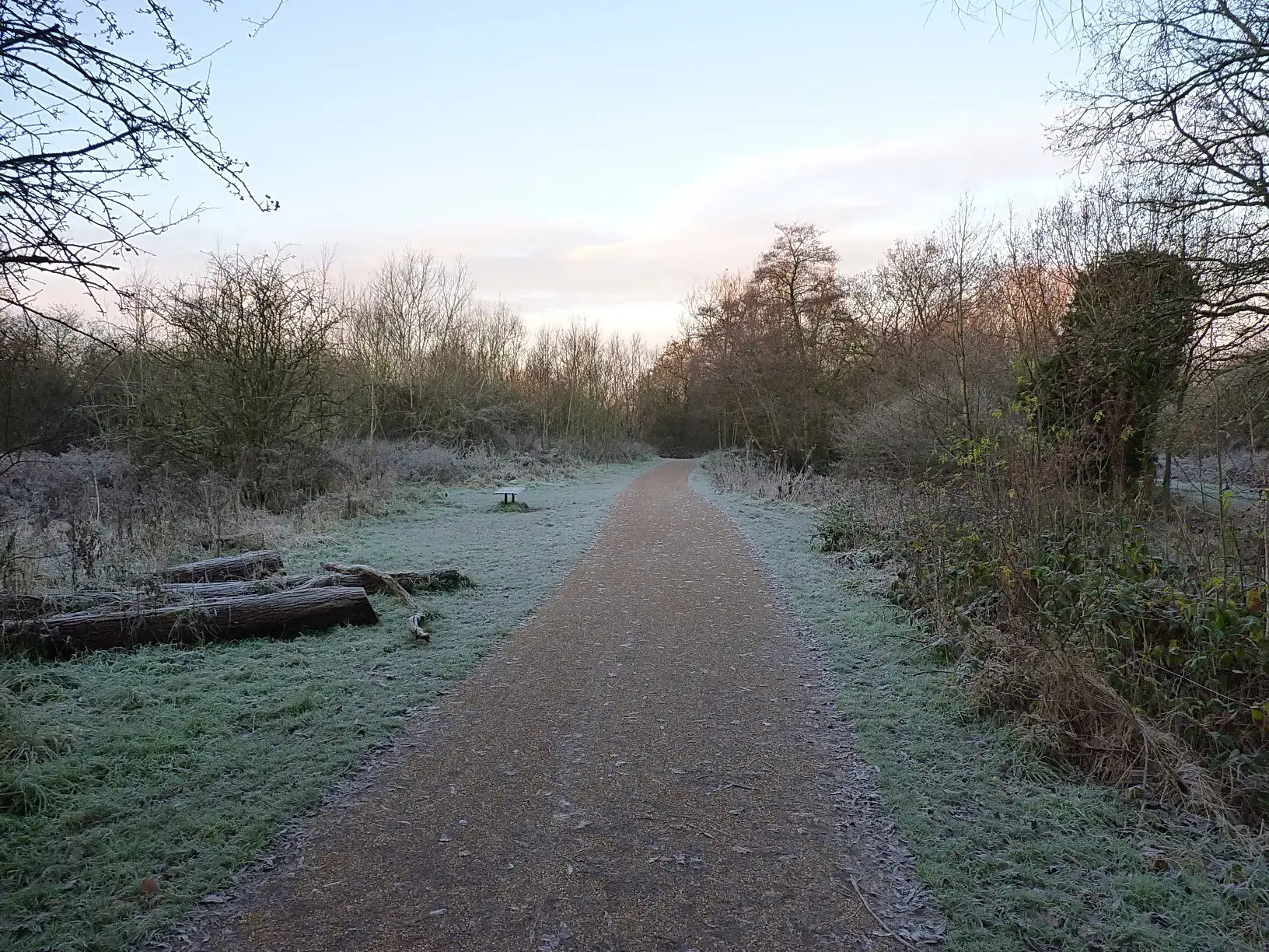
Birmingham is in for a noticeably colder week, with fog and rain on Tuesday giving way to frosty mornings, a chilly northerly wind and some bright, sunny spells inland from Thursday, according to the Met Office's week-ahead forecast.
Tuesday: fog, then rain
Tuesday starts quiet but cold, with fog expected across parts of the Midlands, Wales, East Anglia and northern England. The Met Office says fog may be slow to clear in parts of the Midlands, lifting into low cloud and leaving a murky feel.
Cloud and rain will then push north into central and southern England, Wales and the Midlands during the afternoon, so it is worth carrying an umbrella for the journey home. Temperatures will struggle, reaching 11C or 12C at best in southern England.
Wednesday: colder air arrives
On Wednesday the colder air becomes more established. Northern areas start with frost and early fog, while a slow-moving weather front brings cloud and spells of rain further south. Temperatures will be below average for the time of year, with around 11C possible in the south east.
The best chance of snow is well away from Birmingham, across northern and north-eastern Scotland from Wednesday evening into Thursday.
Thursday: the coldest day
Thursday looks like one of the coldest days of the week. After a frosty start, temperatures in some areas will reach only around 4C to 6C, with values nearer 9C possible in the south. A strengthening northerly wind will make it feel even colder.
The good news is that there will also be sunshine inland across parts of England and Wales, so for Birmingham it should be a crisp, bright day for anyone who wraps up well. Showers are more likely in places exposed to the northerly wind, including parts of eastern England.
Friday and the weekend: drier, still cold
High pressure begins to build from the west on Friday, bringing a generally drier picture inland with some sunshine. It stays cold, with daytime temperatures of around 6C to 9C, and a chilly start will slow any rise in temperature.
The cold theme continues into Saturday, with high pressure increasingly in charge. Lighter winds and clearer skies mean the risk of overnight frost and fog returns, before the weather pattern starts to change slowly through the weekend and into next week.
Getting ready for the cold
This is the first properly cold spell of the season for many, so it is a good time to:
Allow extra time on Tuesday morning if fog is lingering, and again on frosty mornings later in the week when windscreens and pavements may be icy.
Check on older neighbours and relatives, and make sure they have what they need to keep warm.
Wrap up for outdoor plans on Thursday and Friday, which should be the brightest days, and make the most of the sunshine with a walk in one of the city's parks.
The Met Office will update its forecast through the week, and any weather warnings for fog or ice will be published on its website.
More in Weather
All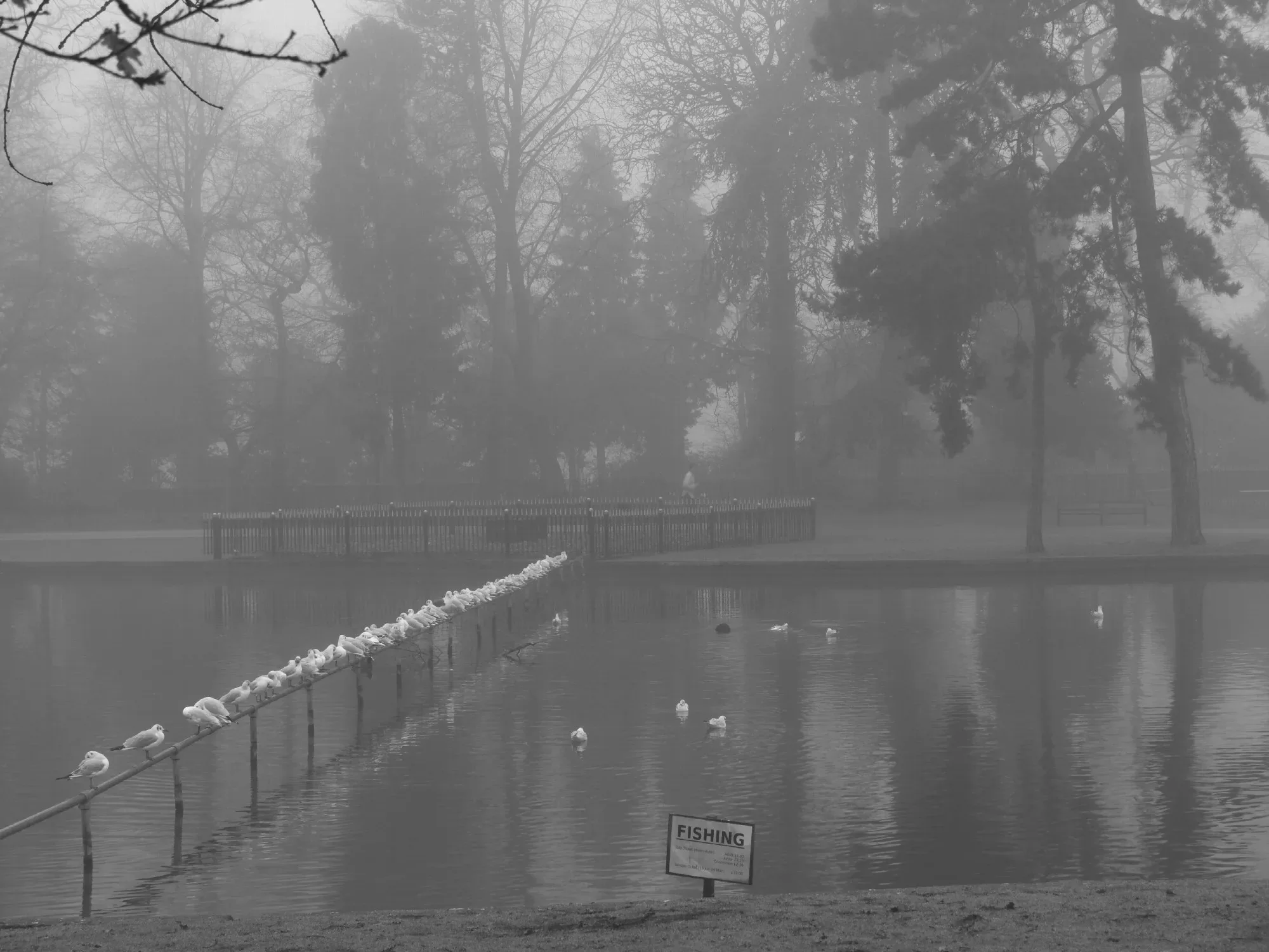
Latest news
Featured posts
-
Things to do
Top 10 places to visit in Birmingham
-
Food and drink
The 12 most popular food spots in Birmingham
-
Things to do
The best laser tag locations in Birmingham