
Polar vortex talk, but a dry, chilly start to November is forecast
The Met Office outlook suggests high pressure, fog and cold mornings in early November, with no significant snow forecast yet.
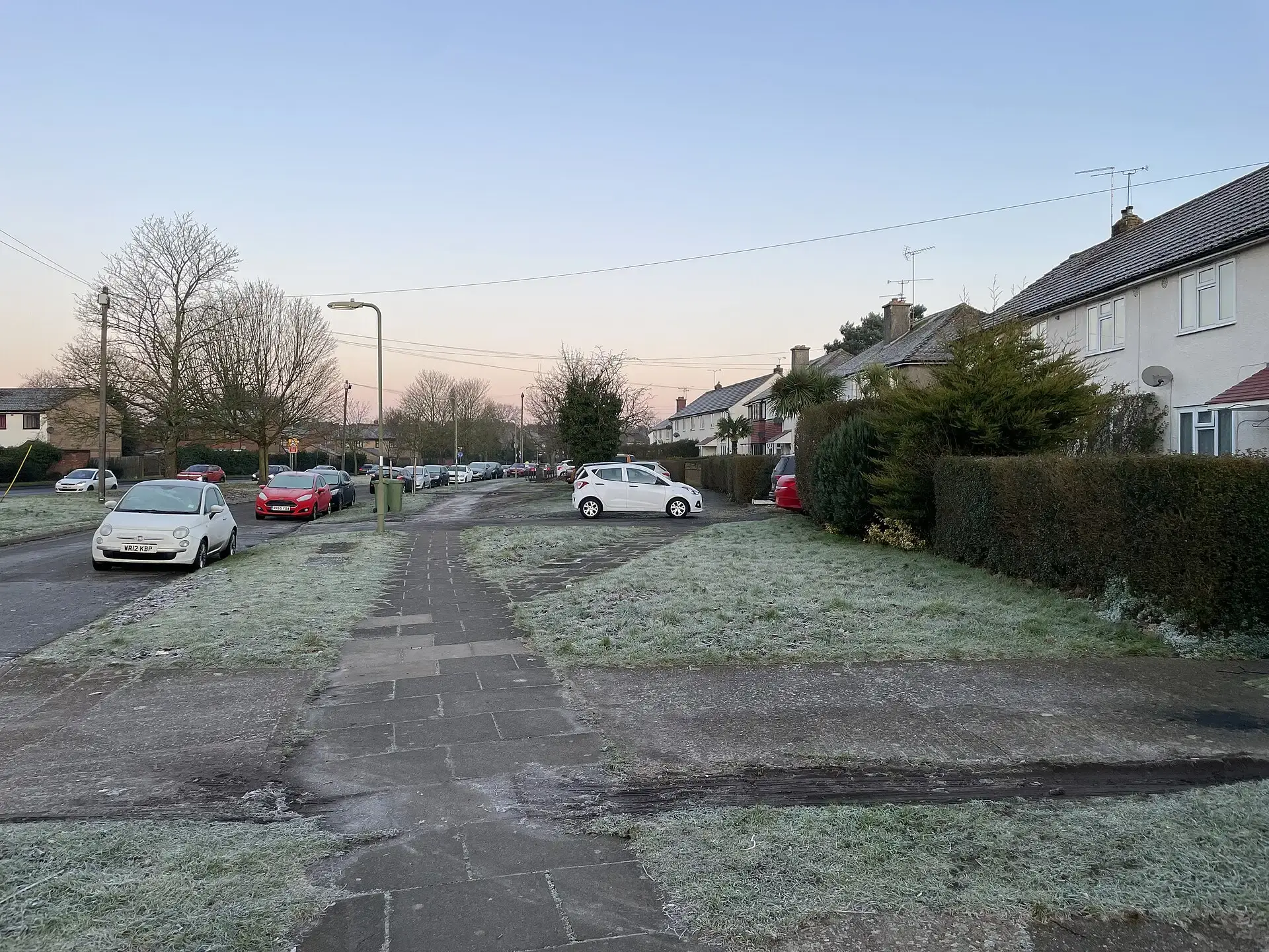
Talk of a snowy winter has started early, with weather watchers keeping an eye on the polar vortex high above the Arctic. But for Birmingham and the Black Country, the latest Met Office outlook points to a largely dry start to November, with chilly nights and foggy mornings rather than snow.
What the Met Office expects
The Met Office's long-range forecast suggests high pressure will build around the UK in the opening part of November, bringing plenty of dry weather. Temperatures are expected to stay generally close to average, although some chilly nights, fog and colder mornings are possible.
From 11 to 25 November, conditions could become more unsettled, with spells of rain and possibly strong winds, while temperatures overall are forecast to stay near or slightly above average.
There is no confirmed forecast of significant snow for the area in the near future.
What is the polar vortex?
The polar vortex is a band of strong winds high in the atmosphere that circles the cold air over the Arctic. When it is strong, the coldest air tends to stay further north.
There are signs it could be disrupted in early November. If the vortex is significantly weakened or disrupted, it can affect the jet stream and make it more likely that Arctic or continental air moves towards Europe. A "sudden stratospheric warming" can also disrupt the vortex and sometimes leads to long cold spells in Britain, though the effects can take several weeks to reach our everyday weather.
Snow needs two things at once
For snow to fall in Birmingham, cold enough air has to arrive at the same time as rain or showers, so changes to the polar vortex alone do not guarantee snow.
The Met Office has previously poured cold water on dramatic claims that Britain is about to be "smashed" by snow because of the polar vortex, stressing that such changes alter the odds rather than give a precise local forecast. Its longer-term view is that cold spells and occasional significant snowfall remain possible in the UK, even as winters become milder overall in a warming climate.
Getting ready for winter
With frosty mornings likely as November begins, it is a good time to make sure the car is ready, with screen wash topped up and an ice scraper in the door pocket. Foggy mornings can also make driving more difficult, so allow extra time for the school run and commute.
For now, Birmingham looks more likely to see crisp, dry days and cold nights than a white start to winter. The polar vortex will keep being watched as winter draws closer, and the Met Office's forecasts are the best place to check for any change.
More in Weather
All
Latest news
Featured posts
-
Things to do
Top 10 places to visit in Birmingham
-
Food and drink
The 12 most popular food spots in Birmingham
-
Things to do
The best laser tag locations in Birmingham