

From fog to frost: Arctic air brings crisp, cold days to Birmingham, but it's not the polar vortex
The Met Office explains why November was so foggy and why clearer, colder weather is arriving, with frost and icy patches expected.
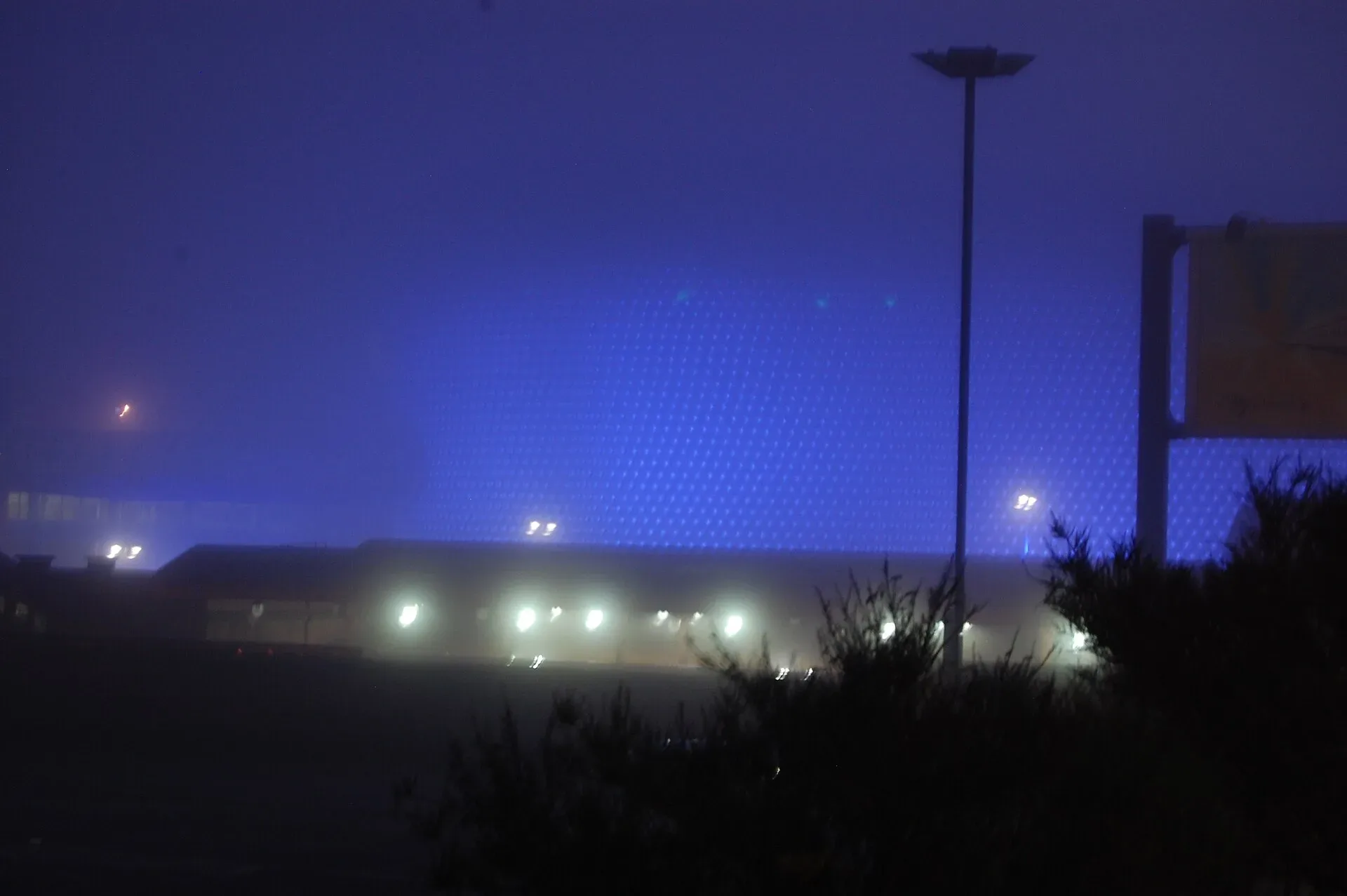
After a week in which fog hung over Birmingham for days on end, the weather is changing. The Met Office says clearer skies, colder Arctic air and an increasing risk of frost and ice are taking over, but contrary to some headlines, the polar vortex is not to blame.
In a deep dive published on 11 November, Met Office forecasters explained what caused the fog and what is bringing the cold.
Why it was so foggy
High pressure dominated the UK in the first part of November, creating ideal conditions for fog: light winds, clear spells and plenty of moisture close to the ground. Overnight, temperatures fell towards the dew point, the temperature at which air becomes saturated, so water vapour condensed into tiny droplets, forming cloud at ground level.
Bonfire Night may have played a small part too. Smoke from bonfires and fireworks added tiny particles to the air, and water vapour can condense onto these, helping fog droplets to form when the other ingredients are in place.
The fog was often dense and patchy, with one place clear and another a short distance away in very poor visibility. That patchiness is why fog is one of the hardest things to forecast. Forecasters look for a temperature inversion, when warmer air sits above cooler air near the ground and acts like a lid, trapping moisture low down.
What is bringing the cold
High pressure is still influential, but it is building to the west and north west of the UK. That means winds increasingly arrive from the north, drawing in colder, drier Arctic air. Dense fog becomes less likely, though some mist and isolated fog patches are still possible.
Clearer skies will let temperatures fall more quickly overnight, so frost will become more widespread, with a risk of icy surfaces where showers occur. Wintry showers are possible around northern and eastern coasts, with some snow on the higher ground of Scotland.
It is not the polar vortex
The Met Office says the colder spell is being driven by changes in the troposphere, the lowest part of the atmosphere where our weather happens. The polar vortex, by contrast, is a large circulation of winds about 30 kilometres up in the stratosphere.
There has been some recent stratospheric warming and a weakening of the winds around the vortex, but any effect on weather at ground level can take several weeks to develop and is never guaranteed. Forecasts suggest the disruption may be short-lived, with the vortex returning closer to normal as December approaches.
"For now the UK's transition from foggy and relatively mild weather to clearer, colder conditions is about high pressure, wind direction and Arctic air, not the polar vortex," the Met Office said.
For Birmingham this week
A yellow cold-health alert from the UK Health Security Agency is in place for the region from 9am today until noon on Saturday. Expect frosty starts, bright and crisp days, and icy patches on untreated roads and pavements first thing. The council's gritters were out from Wednesday evening. Wrap up well, allow extra time on the morning commute, and check in on older or vulnerable neighbours.
More in Weather
All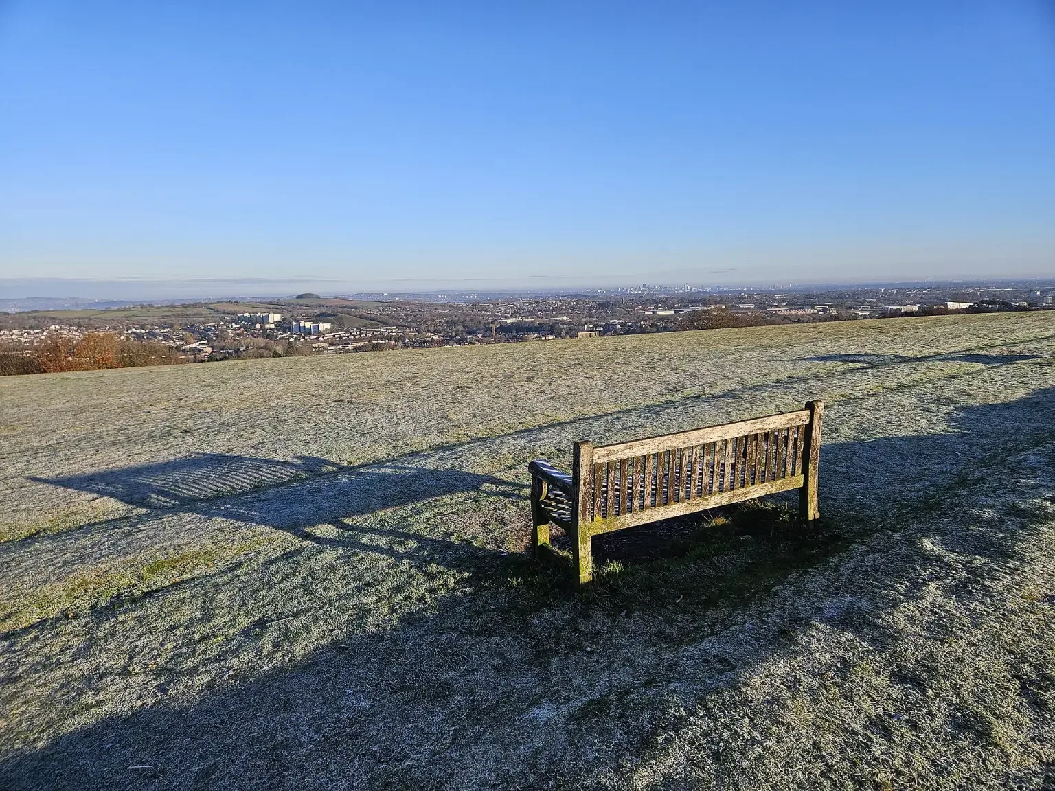

Latest news
Featured posts
-
Things to do
Top 10 places to visit in Birmingham
-
Food and drink
The 12 most popular food spots in Birmingham
-
Things to do
The best laser tag locations in Birmingham