

Milder, wet Sunday for Birmingham after the coldest night of the autumn, with frost back on Monday
Rain spreads east through the day, with thundery downpours possible in the south. New cold-health alerts cover northern England but not Birmingham's region.

After the coldest night of the autumn so far, Birmingham wakes up to a milder, frost-free Sunday, but it will be a wet one, with widespread rain spreading across the country and the chance of thundery downpours further south.
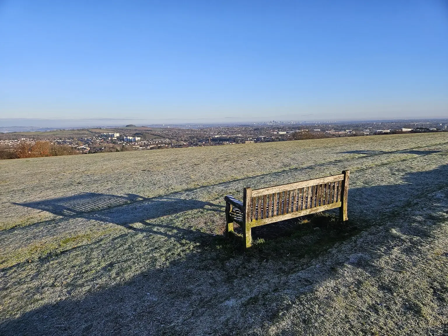
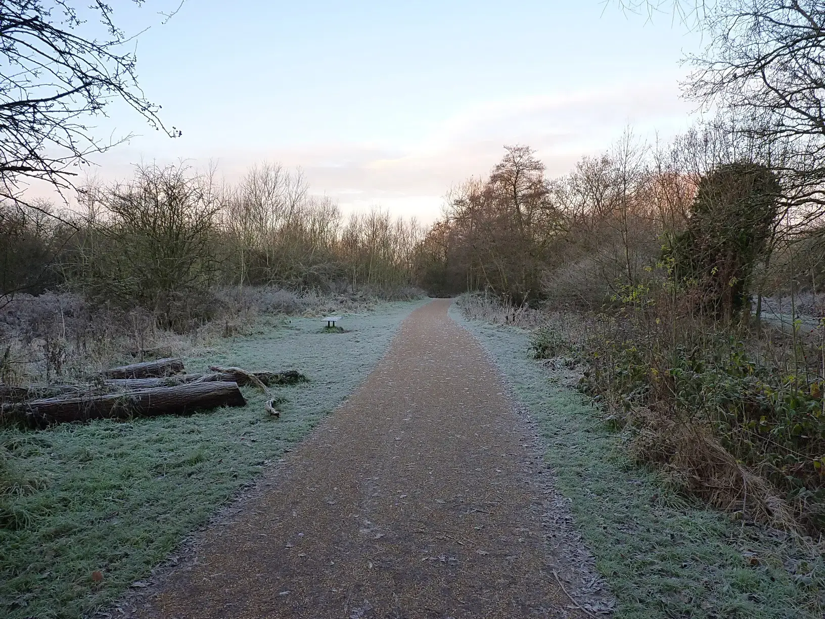
Temperatures fell as low as -7.2C at South Newington in Oxfordshire early on Saturday, the lowest reading of the season so far, BBC Weather reported. On Sunday morning most places were milder and free of frost as weather fronts moved in from the west.
Rain spreading east through the day
Areas of showery rain will drift eastwards across much of the UK during Sunday. The heaviest rain first thing is likely in Scotland, Northern Ireland, south-west England and Wales, before outbreaks become widespread by the middle of the day, with the chance of thundery downpours in the south. Hail and thunderstorms are possible for parts of Wales and southern England.
Some disruption is possible from bursts of heavy rain. Forecasters warned that trees will be shedding their leaves readily in the rain and brisk winds, and that fallen leaves could block drains and lead to localised flooding. It is a good moment to clear leaves from gutters and drains around the house if it can be done safely.
Good news for Birmingham on cold-health alerts
The milder spell will not last long. From 9pm on Sunday, yellow cold-health alerts issued by the UK Health Security Agency (UKHSA) come into force for north-east and north-west England and Yorkshire and the Humber until 9am on Thursday. Unlike last week, when Birmingham's region was covered by the first alert of the winter, this time other regions of England, including Birmingham's, are currently unaffected.
Paul Coleman, consultant in public health at UKHSA, said the agency expects more alerts as winter goes on. "Cold weather can have a serious impact on the health of some people, including those aged 65 and over and those with pre-existing health conditions, so it is vital to check in on friends, family and neighbours who are most vulnerable," he said.
Monday and the week ahead
As the low pressure clears east on Monday, the rain and wind will ease, but colder air returns from the north, bringing frost and fog back. Monday afternoon temperatures will be around 5C to 8C across most of the UK, with a noticeable wind chill near eastern coasts. Monday night then brings more wet and windy weather, with gales likely around western coasts.
BBC Weather described the rest of the week as "a temperature rollercoaster with alternating spells of mild and cold weather". A yellow Met Office warning for ice covers parts of Scotland and northern England from Sunday evening until Monday morning, but elsewhere it will be too mild for wintry weather.
UKHSA's advice is simple: heat the rooms you spend most time in, such as the living room or bedroom, and dress warmly to stay well as the temperatures go up and down.
More in Weather
All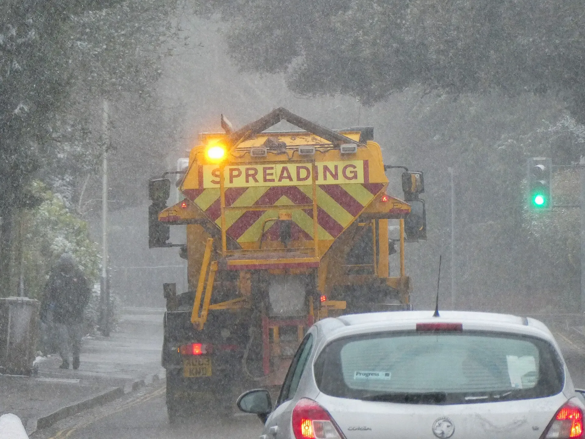
Latest news
-
16 Nov
New direct Birmingham to Crewe trains start on 13 December, the first step to a Manchester Airport link
-
16 Nov
Apple launches study of 200,000 people to test how useful AI answers to health questions really are
-
16 Nov
Asian Business Chamber's Diwali celebration at St Andrew's explores innovation, from cybersecurity to football
Featured posts
-
Things to do
Top 10 places to visit in Birmingham
-
Food and drink
The 12 most popular food spots in Birmingham
-
Things to do
The best laser tag locations in Birmingham