

Dry and settled start to November for Birmingham as high pressure takes charge
The Met Office expects mainly dry weather into Bonfire Night week, with fog and a touch of frost the things to watch.
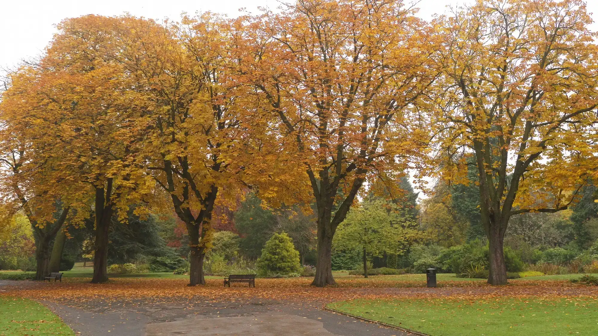
Birmingham is set for a largely dry and settled start to November, with high pressure expected to keep most of the rain away until at least the end of the week, according to the Met Office.
After a run of storms and the wettest week in two years for England, the change will be welcome news for anyone with plans outdoors, including the thousands heading to bonfire and firework displays around the city on Thursday, 5 November.
Sunday and Monday
A weak weather front is moving south-eastwards across the country this weekend, but the Met Office says its rain will become "increasingly light and patchy" as it goes. Behind it, mainly dry conditions with clear or sunny spells are expected to return.
By Monday, a little rain or drizzle may linger across southern areas before clearing. Elsewhere, the forecast is for dry weather with clear or sunny spells.
A settled week ahead
From Wednesday 4 to Friday 6 November, high pressure is likely to stay in charge, bringing mainly dry and settled conditions. The forecaster says weak weather fronts may occasionally graze the far north and northwest of the UK, but "these should be exceptions to the broader dry theme".
That puts central England, including Birmingham, in a good position for Bonfire Night. The Met Office says high pressure will have its greatest influence farther south, while Atlantic fronts can still reach northern and western areas.
Fog and a touch of frost
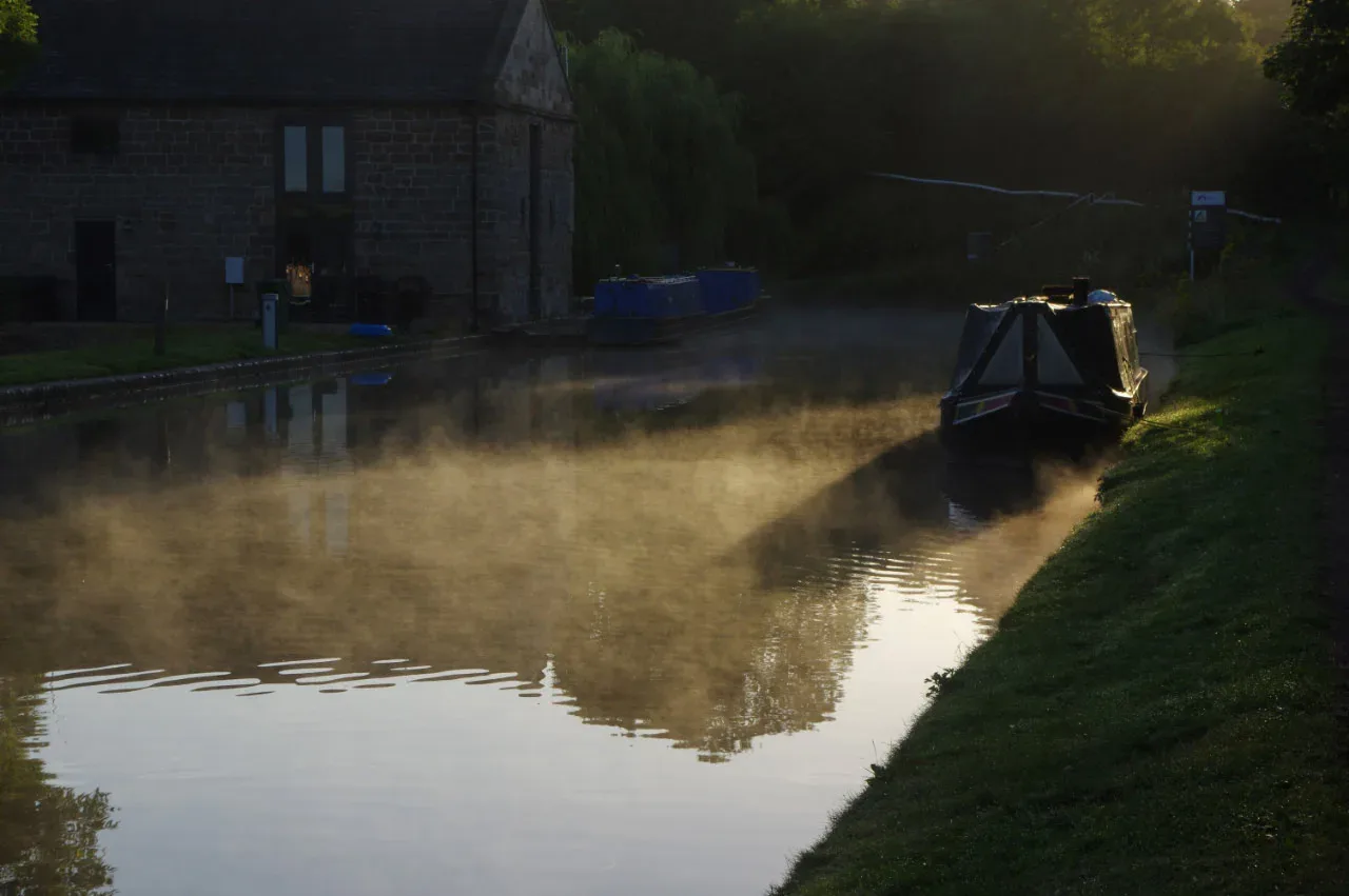
The main thing to watch is fog. With light winds beneath the high pressure, the Met Office expects fog to become "a recurring feature", and where it forms overnight it could be slow to clear during the day. Central and eastern England are among the areas where fog is likely to develop.
Temperatures are expected to be near or a little below average for the time of year, and a touch of overnight frost is possible. It is worth allowing extra time for morning journeys, keeping headlights on in fog, and checking for frost on the car before setting off.
Will it last?
Not indefinitely. The forecaster says there are signs of a change as November goes on. During the second week of the month, an Atlantic influence may develop, and conditions are likely to become more changeable, bringing occasional wind and rain, particularly in the north and west.
Deeper into November, an unsettled pattern is considered "more likely than not", with wetter-than-average conditions more likely than a dry spell for most areas, although confidence in exactly where and how much rain will fall remains low.
Making the most of it
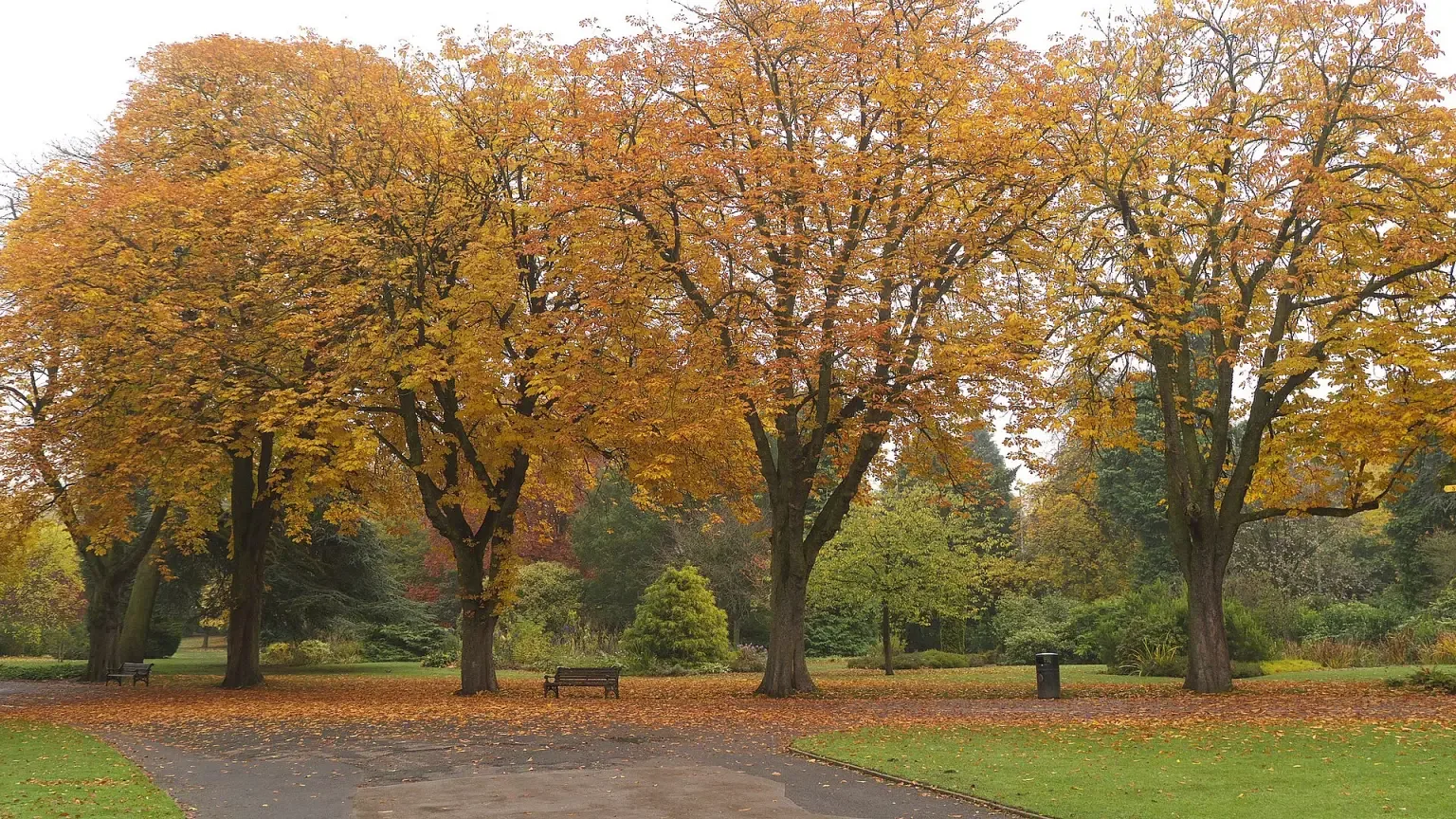
For now, though, the outlook is about as good as early November gets. Dry ground and light winds make for good conditions for an autumn walk in one of the city's parks, where the trees are still putting on a show, or for wrapping up warm at a firework display later in the week.
As always, forecasts can change, so check the latest Met Office forecast for Birmingham before heading out.
More in Weather
All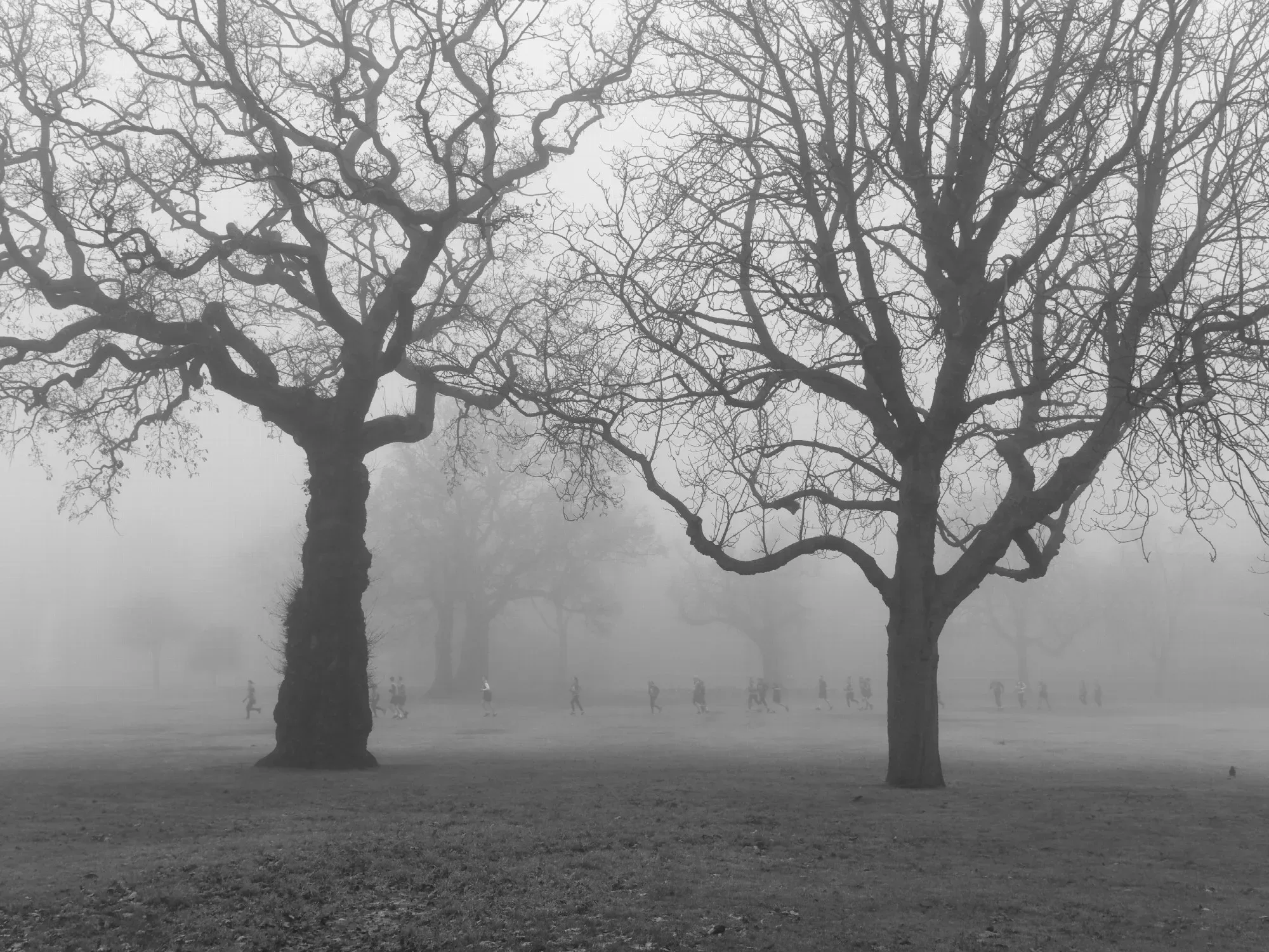
Latest news
Featured posts
-
Things to do
Top 10 places to visit in Birmingham
-
Food and drink
The 12 most popular food spots in Birmingham
-
Things to do
The best laser tag locations in Birmingham