
Calmer weather ahead after a wet and windy midweek
High pressure builds towards the weekend, bringing drier conditions for most.
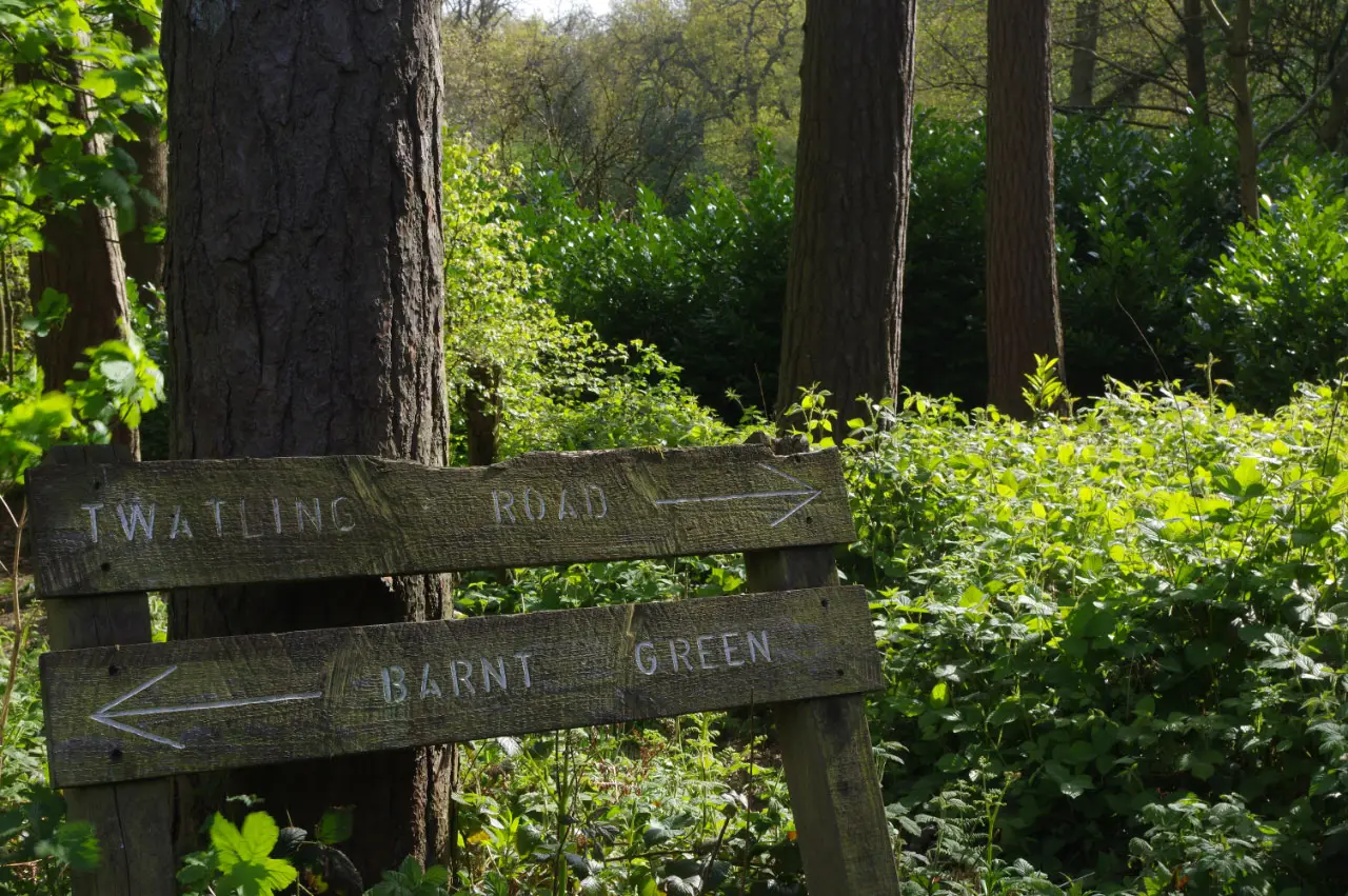
After an unusually warm start to the week, followed by heavy rain and strong winds on Wednesday, the weather is set to calm down as high pressure builds towards the weekend, according to the Met Office.
A turbulent end to September
On Tuesday, temperatures reached the mid-20s across much of England, with the highest temperature of the month, 28.1C, recorded on 29 September. Nights were exceptionally mild, with temperatures staying in the mid to high teens in places.
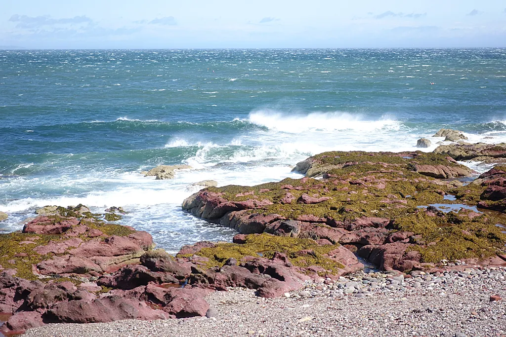
A cold front then swept across the country from the west on Wednesday, bringing heavy rain, blustery winds and large waves on western coasts, before clearing by the evening.
Thursday
Temperatures have returned to near average for early October, reaching around 20C to 21C in sunny eastern areas. There will be a few showers, especially in the west, with brisk winds at times.
Into the weekend
The Met Office says high pressure will become established over south-eastern parts of the UK, bringing drier conditions. By Saturday, high pressure is expected to dominate much of the country, with dry weather for most, although cloud and rain may approach the far north west.
With lighter winds and clearer skies, nights will turn cooler, and mist and fog may form in places by the morning.
Was it enough rain?
The rain on Wednesday was welcome for gardens, but it was not enough to end the drought. England had only 65 per cent of its usual rainfall in September, and the Environment Agency says the area around Birmingham remains in drought status. Reservoir storage across England stood at 55 per cent at the start of October.
Leaves and drains
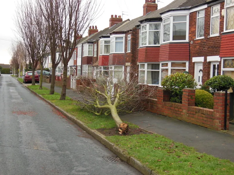
Strong winds bring down leaves and small branches, which can block drains and gutters. Residents are advised to clear drains near their homes where safe to do so, and to report blocked road drains to Birmingham City Council, to reduce the risk of flooding when heavier rain arrives.
Weekend plans
A settled weekend should be good news for outdoor events, autumn walks and the start of Birmingham's Black History Month programme, with events across the city. It is also a good time to enjoy the parks before the leaves fall, from Sutton Park and the Lickey Hills to Cannon Hill Park.
Stargazing
Clear skies at the weekend could offer a good view of Saturn, which reached opposition on 4 October, when it is at its closest and brightest for the year. Look towards the south east after dark for a bright, steady, yellowish point of light.
Looking further ahead
Next week looks more changeable, with rain moving back in at times. The Met Office advises checking the latest forecast before travelling or making outdoor plans, as details can change.
Weather warnings
The Met Office issues yellow, amber and red warnings for severe weather, and names storms when they are expected to cause significant impacts. The first name on this season's list is Austen.
Why the weather changed so quickly
The warm, humid air at the start of the week came from the south, drawn up ahead of an area of low pressure over the Atlantic. When the cold front attached to that low swept east on Wednesday, it replaced the warm air with fresher air from the west, which is why temperatures dropped so noticeably and the wind picked up. High pressure then builds behind it, settling things down.
More in Weather
All
Latest news
Featured posts
-
Things to do
Top 10 places to visit in Birmingham
-
Food and drink
The 12 most popular food spots in Birmingham
-
Things to do
The best laser tag locations in Birmingham